
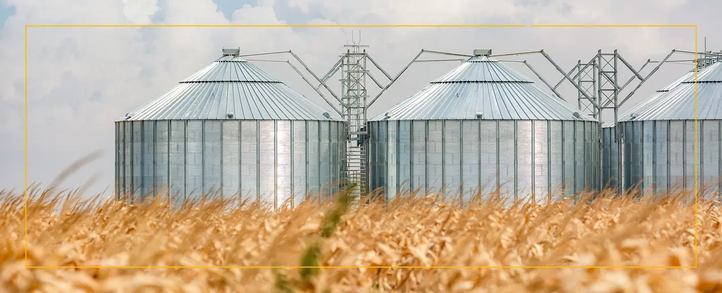
Rizal turns every financed acre into a transparent, trackable asset - with daily satellite monitoring, AI risk alerts, and compliance-ready reports.
Cost Reduction for Banks
In Loans Supported
Paid Acres Monitored
Reduction in Early Delinquencies

Challenge: A bank issued a $7M loan tied to 12,500 acres but inspections covered only 15–20%, leaving high risk.
Solution: Rizal flagged 5,000 unplanted acres and required geo-tagged photo proof before funds were released.
Outcome: The bank cut the second tranche to actual acreage, avoiding under-collateralization. Loan repaid in full.
Challenge: A wheat lender faced yield underperformance that put repayment at risk.
Solution: Rizal flagged early nutrient stress; a technician used the app to confirm and recommend foliar fertilizer and irrigation.
Outcome: The crop recovered to the target yield, protecting farm income and loan repayment.
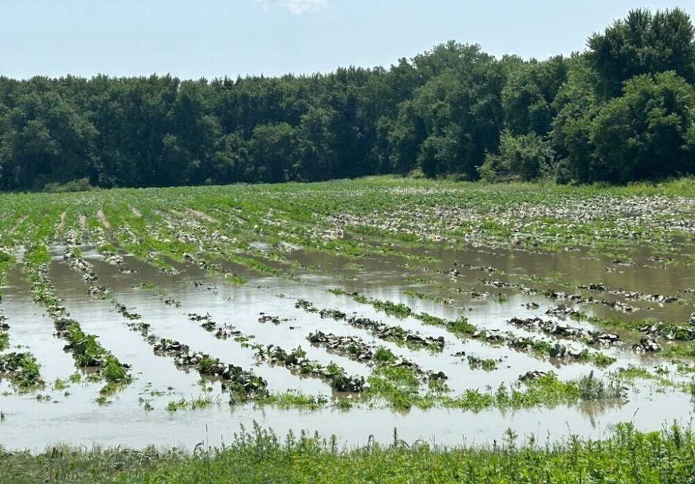
Challenge: Flood damage often went undocumented, delaying claims and causing disputes.
Solution: Rizal flagged inundated fields in real time, enabling immediate farmer alerts to insurers.
Outcome: Claims were verified quickly, disputes dropped, and farmers received timely payouts.

Turn credit or field records into a trusted digital portfolio
.png)
Cut oversight costs and stay ahead with real time data
.png)
Protect yields and loan repayment before issues spread
.png)
Tie capital directly to trusted data strengthened over time

See every acre with daily high-resolution satellite updates and a built-in five-year history of how fields have performed.

Machine learning models analyze daily satellite, biomass, and weather signals to predict yields and flag risks.

Rizal tracks what’s planted, yields, and repayment history—turning farmland into a transparent, financeable asset.

Our offline-ready app lets farmers and inspectors add geo-tagged photos and comments, reducing information asymmetry across the value chain.

Auto-generated reports create an auditable data trail for regulators and stakeholders.
We update field conditions daily using high-resolution satellite and weather data. This enables early risk detection and timely action.
AI delivers crop health, yield forecasts, and repayment probability for each field, supporting smarter lending and farming decisions.
Yes, monitor your entire financed land portfolio from one dashboard. View updates, alerts, and historical data for every field.
Yes. Access all features on Android and iOS, even offline. Field teams can upload photos and data directly from the app.
.svg)


